
Newport News Neighbor Source Map
The Newport News neighbor question is a block-and-parcel question first. The public GIS viewer shows parcel geometry, adjacent lots, and map layers. The assessor may show parcel, situs, assessment, and displayed owner or mailing fields. A recorded plat can explain lots, blocks, and subdivisions. The Street Index helps identify the right segment of a long street. Each source answers a narrow question. A name in a property record is a property connection, not proof that the person is a current neighbor or that everyone at an address is identified.
| Block source | What it reveals about a Newport News block | Access route |
|---|---|---|
| GIS viewer | Adjacent parcels, geometry, layers, and map context | Free public map viewer |
| Parcel REST service | Structured parcel features and spatial queries | Public service with record and selection caps |
| Street Index | Segment endpoints, subdivision, map coordinate, and street classification | Current city PDF |
| Recorded plat and deed index | Lot, block, subdivision, legal-description, and transfer context | Clerk index, office, or subscriber image route |
| Assessor | Assessment fields and a property-party connection | Free portal; not an occupancy record |
| Neighborhood Services and Watch | Civic contacts and precinct-group routes | City pages, not a complete member list |
Begin with the exact address and its retrieval date. If an address is missing, try a street-suffix variation, a nearby parcel, a plat reference, or a Warwick locality label. Do not use shared ZIP codes or a house-number sequence to decide adjacency. Nearby properties may sit on a corner parcel, a rear parcel, or a lot that fronts a different street.
Map a Newport News Neighbor Block
Map geometry makes the block method more reliable than a simple address list. Search the target address or parcel, identify its boundary, then inspect the parcels that actually touch it or occupy the needed radius. Keep the relationship visible in the notes: parcel east of the target, corner parcel fronting two streets, or same subdivision without a shared boundary. The city GIS service supports spatial and distance queries, but the map result is not a people list.
- Find the address, place, or parcel in the Newport News GIS viewer and save the displayed parcel or object ID.
- Zoom to the parcel lines, then turn on neighboring-parcel, city-boundary, and land-use layers as needed.
- For each relevant parcel, record the situs, fronting street, subdivision or plat reference, map coordinate, and source date.
- Use the assessor only when a property-party field is necessary, and use a plat or legal description to resolve a boundary question.
The Newport News GIS Viewer provides the address, place, and parcel search control used for this block workflow.
The viewer lets a search move from an address to parcel geometry and selected map layers without claiming that every parcel has an identified occupant.
For a complete named-street records chain, use the Newport News Street Directory. That address-focused route follows street segments, assessor records, deeds, and historical sources beyond the immediate block.
Newport News Neighbor Geometry
Parcel lines help answer whether two properties are truly adjacent. They are still map data, not a final boundary ruling. Use the lot or block shown on a recorded plat, survey, or deed legal description when the boundary matters. The assessor’s situs identifies the tax-map location. A mailing field is simply where correspondence is sent. Owner, grantee, situs, and mailing address are separate fields with different purposes, and no one of them should be turned into a household list.
The GIS parcel view centered on a Newport News parcel illustrates how nearby parcel geometry can be inspected.
Visible boundaries provide a basis for describing nearby parcels, but a map should be paired with a plat or legal description before resolving an ownership or boundary dispute.
- Situs address
- The tax-map location of a parcel or property.
- Parcel ID
- The assessor and GIS crosswalk key, which can change when parcels split, merge, or are renumbered.
- Plat
- A recorded drawing that can show a subdivision’s lots, blocks, dimensions, and street relationships.
- Land-use layer
- A mapped category such as residential, commercial, institutional, or vacant. It describes map context, not occupants.
Newport News Neighbor Block Context
Use the Street Index to normalize a street before drawing a block. The 2026 index supplies a street number, name, from and to points, subdivision, map coordinate, and functional classification. One named street can have several segments. The research’s 35th Street example breaks at West Avenue, Washington Avenue, Warwick Boulevard, and city-maintenance or city-limit points. Those endpoints make it easier to identify the correct portion of a street before opening parcels.
| Street Index | Shows a current road segment and its map context, not residents. |
|---|---|
| Land-use layer | Provides mapped block context, but does not establish occupancy or current use. |
| Daily Incidents | Shows a block address, offense, date and time, precinct, beat, and incident ID as time-bounded context. |
| Recorded plat | Connects the map to lot, block, and subdivision relationships. |
The city’s Street Index is the right first check for a current segment. The Daily Incidents dashboard can add bounded public-safety context, but it is not evidence of who was present at a block. Record the dashboard date and incident ID without linking an event to a private household.
Note: A current Street Index and a historical directory describe different dates and should never be blended without the year.
Newport News Civic Neighbor Routes
Neighborhood Services and the Neighborhood Watch network add a civic layer to a Newport News block question. They provide engagement, safety, survey, and GIS routes, not a master directory of households. City research found precinct-grouped Watch contacts, including Clark, East Russell Court and DeGaulle Street, Salters Creek South, Shore Patrol, Players Choice, Maxwell Gardens, Normandy Forrest, Riverside, Wendwood, Willow Green, Brookside, Burkdale, North Area Representative, and Shore Park Helper. A listed group identifies an organizing route, not membership or a parcel-level affiliation.
The Newport News Neighborhood Services page is the city source for civic-engagement and data-driven GIS or survey support.
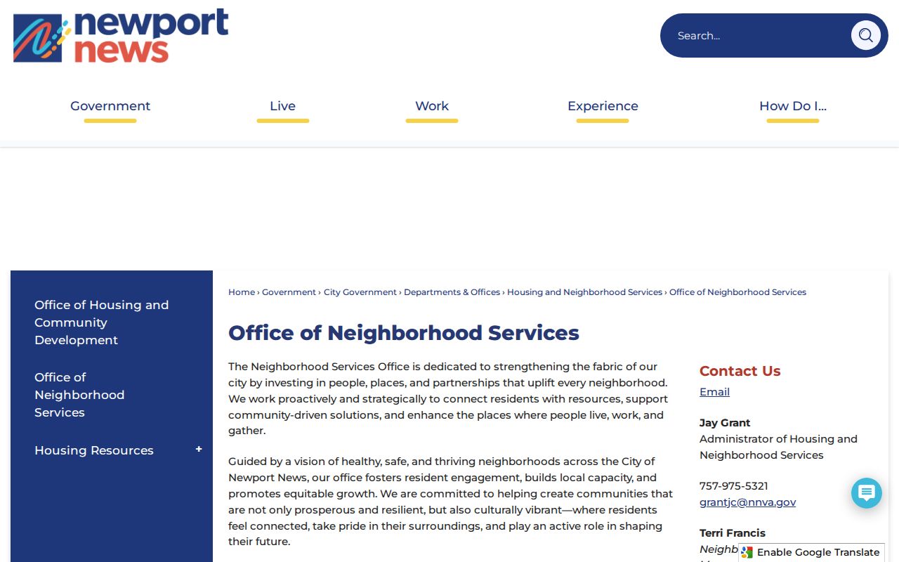
The service page helps direct a block question to an appropriate civic channel rather than presenting private household information.
Neighborhood Services
City support for civic engagement, neighborhood safety, surveys, and GIS. The research lists Jay Grant at 757-975-5321 and Terri Francis at 757-926-7684, with current staffing to be verified.
Neighborhood Watch Coalition
The Coalition reports that groups have operated since 1981 and that the coalition was established in 1983. Its organizer guidance is a participation route.
Association gap
No official complete Newport News association roster with every boundary, officer, and contact was located. Check the city route, civic meetings, GIS, and an association’s own public channel.
Newport News Neighbor Voter Limits
The Virginia Citizen Portal can help an individual confirm registration, polling place, district, absentee status, or voting-history information through the official route. It is not a free block roster. Virginia restricts voter lists to qualified requesters and enumerated purposes, and protected voters may have residence information withheld. For a geography question, note the precinct or district and compare it to city GIS. District lines and polling places can change by election.
| Official block source | Commercial neighbor tools | Safer use |
|---|---|---|
| Shows a specific map layer, parcel field, civic route, or regulated voter function | May combine data with uncertain update dates and matching errors | Return to the identified custodian and retain the source date |
| States its record scope and access rules | May not explain its original source or correction path | Use only the narrow official record that answers the question |
| Keeps protected information and legal limits visible | Cannot override a sealed or protected underlying record | Do not build a household list from mixed data |
The Newport News Registrar is the escalation point for an individual status mismatch. A qualified voter-list request has a separate Virginia form, role, purpose declaration, and handling rules. Neither route is a substitute for GIS geometry when deciding which parcels are actually adjacent.
Newport News Block Boundaries
Newport News is an independent city, so a records system may require “Newport News city” rather than a county selection. The city boundary is available through the ArcGIS operational service with municipality and update metadata. It answers a different question from a ZIP label or a post-office name. For a parcel close to an edge, compare the GIS city boundary, the parcel geometry, and the exact address record before calling it a Newport News block.
Historical labels matter too. Records may use Newport News, Warwick city, or Warwick County after the 1958 consolidation. A historical neighborhood clue, such as Hilton Village, Hidenwood, Beaconsdale, Riverside, Brandon Heights, or Warwick on James, is a search term and context marker, not a current association boundary. The block method should preserve the source’s year and locality label instead of forcing an old record into a modern map.
Newport News Neighbor Privacy Limits
Neighbor information is not fully visible through public records. A parcel layer does not name occupants. An assessment mailing address may identify an administrative contact outside the city. Voter residences can be protected, and voter history is restricted. The Virginia Address Confidentiality Program can provide eligible survivors with a designated address and mail forwarding. Juvenile, sealed, expunged, adoption, victim, and other sensitive court material also remain outside a casual block search. FOIA does not override a confidentiality statute or require the city to create a resident list.
Lawful use. Use Newport News neighbor records for a lawful, personal block question. Do not use parcel, civic, voter, or public-safety information to stalk, harass, threaten, intimidate, or monitor anyone.
For an existing city record, the Newport News FOIA Request Center is a route to start with a specific record type, date range, address, or parcel ID. Constitutional officers retain separate custody of their records. If an address cannot be reconciled, record the exact sources checked and leave the relationship unresolved rather than making a confident neighbor claim.