
Trace a Newport News Street
The useful order is road segment, parcel, map, and legal record. The Newport News Street Index is the local starting point because it records a street number and name with FROM and TO limits, subdivision, map coordinate, and functional classification. It is a road reference, not an occupant roll. Its Spring 2026 entries divide 35th Street at West Avenue, Washington Avenue, Warwick Boulevard, maintenance limits, and the city limits. A long street therefore needs to be read in pieces before an address result is compared.
- Normalize the street spelling and locate its FROM and TO segment in the Street Index. Save the segment, subdivision, and map coordinate beside the address.
- Search that address in the Newport News Property Assessment Search. Retain the displayed situs, parcel ID, tax year, and the tab that supplied the fact.
- Open the parcel in the GIS viewer and turn on parcel, city-boundary, and relevant land-use layers. A neighboring house number is not enough to establish parcel adjacency.
- Use the parcel, plat, legal description, or deed reference with the Circuit Clerk's land-record index. Search both grantor and grantee when tracing a transfer.
- For a dated household lead, check a historical directory or map through the library and preserve its edition year and locality label. Do not merge that historical snapshot with a current property result.
That workflow keeps address research focused on what each source actually records. The Virginia Citizen Portal is useful for an individual's own status, polling place, or district question, but Virginia regulates voter lists and does not make it a casual street roster.
Read Newport News Street Segments
Street names are not always enough in Newport News. The city index supplies segment endpoints and a subdivision field, which are often better search bridges than an unqualified street name. If an address falls outside one indexed segment, check the next row, a cross street, or the adjoining subdivision before deciding the address is absent. Numbered streets, directional prefixes, and abbreviations can change between a historic source and a current portal.
Save both forms when they differ: the printed historical form and the modern normalized form. The index coordinate and parcel geometry can then bridge a map to an assessment record. Do not assume a citywide renumbering scheme explains a mismatch. The research located no official citywide renumbering schedule. For an older address, compare the Street Index, a plat, the 1910 city map or 1897 Sanborn material, and the locality printed in the original record.
Note: Record the edition or retrieval date with every street segment because the road index is current while maps and directories describe fixed historical moments.
Use Newport News Assessor Fields
The assessor portal has three useful entry routes: street address, parcel ID or Tax Map, and owner name. Address and parcel routes make the safer crosswalk for a street question. The public portal presents current assessment data, and annual assessments are effective after July 1. The tabs may include Profile, Values, Sales, Residential or Commercial, Tax Map, GIS Map Viewer, Taxes Due Detail, and Assessment History. Historic depth can vary by tab, so the displayed tax year belongs in every note.
| Assessor field | Input type | Street-directory use | Care needed |
|---|---|---|---|
| Street address | Text | Find a normalized situs address | Try a supported old or alternate form when needed |
| Parcel ID or Tax Map | Text | Crosswalk to GIS and deeds | Parcels can split, merge, or be renumbered |
| Owner name | Supported search route | Locate a property-record party | Exact matching and wildcards were not verified |
| Tax year | Select or parameter | Date the assessment result | The sample route uses 2026 |
| Profile, Values, Sales, History | Result tabs | Identify the source tab | Each tab has a different record purpose |
The captured assessor search interface shows the public entry point for those address, parcel, and owner routes.
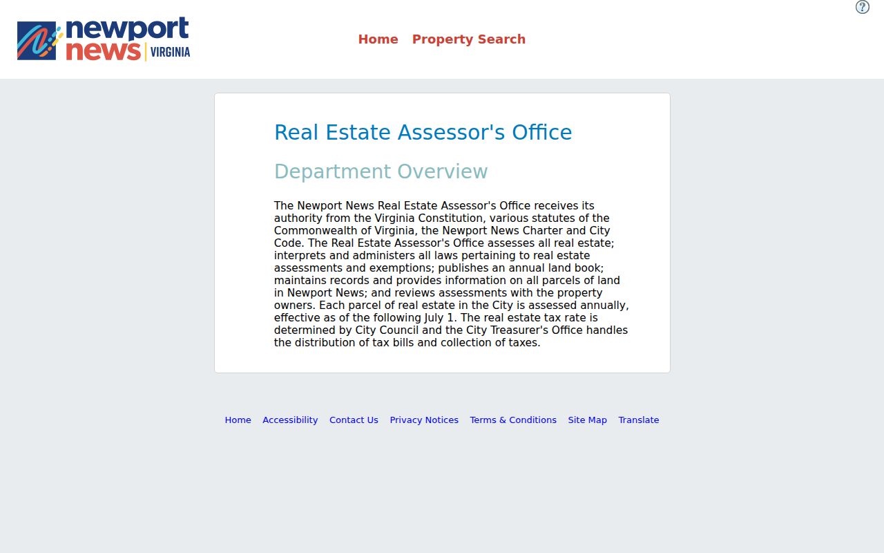
The search screen is a starting point for a parcel record, not a statement about every person connected to a street.
A captured parcel-card example shows why tab labels matter. It may display a parcel ID, situs, owner-name field, mailing field if present, value groups, sales or deed references, exemptions, assessment-history flags, a map link, and tax-year label. The research did not transcribe live field values for a private person, so use the live official record and preserve only the information needed for the specific property question.
The sample assessor parcel-card route documents the visible Profile, Values, Sales, Tax Map, GIS Map Viewer, and history-style tabs.
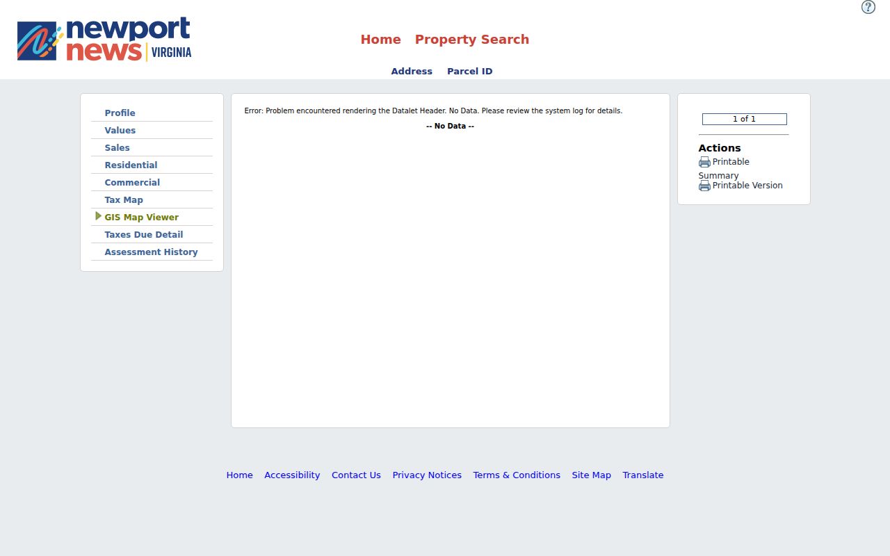
The card demonstrates the record schema without publishing a resident profile or treating the parcel's mailing field as a home address.
Map a Newport News Street
The Newport News GIS Viewer supplies map context after the assessor supplies a parcel identifier. Use Find address, place, or parcel to center the map. Then identify the parcel and turn on the layer list for parcels, city boundary, land use, or another relevant overlay. The official ParcelPublish REST service also accepts structured where and geometry queries, but its public feature service has a 1,000-record maximum and a 2,000-selection maximum. Neither map route is a resident list.
| Find address, place, or parcel | Centers the map and helps identify a parcel. |
|---|---|
| Identify parcel | Opens parcel attributes and may provide an assessor link. |
| Layer list | Shows parcels, city boundary, land use, and other overlays with their own dates. |
| Geometry query | Supports structured parcel or boundary analysis, not a household list. |
The GIS viewer places the address search and layer controls together for the street-by-street map step.
Parcel geometry can show the shape and mapped context of a lot, but a recorded plat, survey, or legal description is the stronger source for a boundary dispute.
Newport News Records by Street
Different records answer different address questions. The assessor is the current property layer; the GIS system adds geometry; the Clerk supplies the legal transfer trail; and the Street Index describes the road segment. Permits and inspections can be searched by project address or parcel through the city's dynamic systems, but an applicant, contractor, or project contact is not necessarily an owner or occupant. The table keeps each source in its own lane.
| Record set | Keeper | What it can show | Access route |
|---|---|---|---|
| Street Index | City/Public Works | From-to segment, subdivision, map coordinate, class | Spring 2026 public PDF |
| Assessment profile | Real Estate Assessor | Parcel ID, situs, values, sales, and tabs | Free public portal |
| Parcel geometry | GIS/ArcGIS | Parcel shape, layers, city boundary | Free viewer and REST service |
| Recorded plat | Circuit Court Clerk | Lot, block, subdivision, and recorded references | Index, office, or subscriber image route |
| Deed index | Circuit Court Clerk | Legal parties, recording references, and transfers | Remote index, subscriber access, office copies |
| Historic directory | Library/Hiden room | Dated address and name snapshot | Collection and edition dependent |
Note: A property connection, a tax mailing field, and a recorded transfer each have a different meaning and should never be presented as interchangeable evidence.
Review Newport News Address Cases
Development Services records can add a project layer to a Newport News address. The research identifies permit, plan, inspection, and code-case material as address- or parcel-keyed records in the city's current and legacy Citizen Self Service routes. The live controls were dynamic, so exact field labels and full coverage were not captured. Start with the parcel ID or normalized address, record the work type and source date, and ask the custodian about a missing result rather than assuming the absence of an online hit means no record exists.
A permit applicant, contractor, project contact, or inspection name has a limited administrative role. It does not prove ownership or that the person lived at the situs. The city's Daily Incidents dashboard similarly supplies block address, offense, date and time, precinct, beat, and incident ID for time-bounded public context, not an occupant list. If an existing city administrative record is needed, request the specific record set and date range through the city rather than asking it to create an address roster.
Follow a Newport News Deed Chain
Move from an assessor parcel to GIS or Tax Map, then to the current deed reference and backward through grantor and grantee entries. A grantor is the party transferring an interest; a grantee receives it. Search both roles because trustees, estates, lenders, businesses, and representatives can appear. A deed of trust concerns financing and is not proof of an occupancy change. Confirm the legal description at every step, especially if a parcel split or an older street label is involved.
- Parcel
- A mapped unit of real estate that links the assessor, GIS, and recorded-property systems.
- Situs address
- The physical tax and map location of a parcel, distinct from tax-bill correspondence.
- Plat
- A recorded map that can show lots, blocks, dimensions, or subdivision relationships.
- Criss-cross directory
- A historic directory organized by address rather than only by a person's name.
The Clerk's Remote Access of Land Records page identifies grantor-grantee indexes and land-record image routes. It directs users to the Special Index for records before July 1, 1982. Image access uses a notarized subscriber application and paid subscription; office inspection, office copies, and mail copy requests remain important alternatives. Office copies are listed at $0.50 per page plus $2 for certification or document handling.
The same official materials give two earliest-deed statements: the general remote page says January 1, 1896, while the subscriber agreement says deeds from October 1865. Do not smooth that conflict into one coverage date. For an 1865-1895 question, contact the land-records office about the Special Index and physical or microfilm access.
The Circuit Clerk land-record access page shows the index, Special Index, subscriber, and copy-request paths.
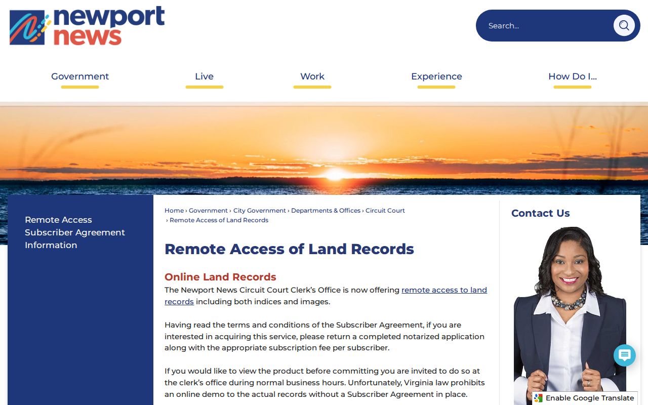
The remote page is a record-access route, while the legal instrument or certified copy is the stronger source when the transfer itself matters.
Keep Newport News Street History
Newport News was chartered in 1896 and consolidated with Warwick in 1958. Older material may therefore identify the same area as Newport News, Warwick County, or Warwick city. North End and East End developed in adjacent Warwick County, and the current independent city did not rewrite older record labels. Retain the locality printed in a directory, map, plat, or deed and record the date before trying to crosswalk it to a modern parcel.
For historical addresses, a directory or map can supply a dated lead but not a current answer. The Newport News Directory Book has the collection-focused route for those editions. A 1910 city map has lot and block numbers, while the February 1897 Sanborn map has 20 sheets and can show building footprints and use. Neither map identifies an occupant. The Library of Virginia catalog also warns that many pre-1866 Newport News and Warwick records are damaged, incomplete, or fragments.
Hilton Village, Hidenwood, Beaconsdale, Riverside, Brandon Heights, and Warwick on James are useful historic neighborhood terms in directory, plat, and GIS research. They are not legal parcel boundaries unless a recorded plat supports the link.
Limit a Newport News Street Search
A street-level source cannot settle every relationship to an address. An assessor owner may be a trust, estate, business, or public entity. A mailing address may be an agent, post-office box, or out-of-city correspondence location. Assessment values, exemptions, sales tabs, land-use layers, and permit contacts each describe a narrow property or administrative fact. They do not establish a current household, a family relationship, or a person's location.
The Virginia Address Confidentiality Program can provide a designated address and mail forwarding for eligible survivors, and protected-voter rules can shield residence information. FOIA does not override a confidentiality statute. If a city administrative record is needed, the Newport News FOIA Request Center requests existing records with reasonable specificity; it does not require the city to create a list of people at an address.
Note: When an address remains unresolved, list the Street Index, assessor, GIS, Clerk, and historical sources checked instead of creating a confident match.
Watch Newport News Parcel Records
For a property owner who wants notice of a newly recorded match, the Circuit Clerk announced VA Deed Alert for Newport News in June 2026. The free statewide service can monitor a personal or business name, name variations, and parcel IDs, then send an email when a matching document is recorded. It does not stop a document from being recorded or decide whether the document is valid. Check the Clerk's current instructions before relying on any alert.