
Newport News ZIP Coverage
Postal assignments, Census ZCTAs, and the independent-city line answer different questions. The research separates standard labels, archived USPS groupings, PO Box or associated labels, and unverified material rather than treating every number as a current delivery promise. Use an exact-address result before relying on a mail route. The table below preserves those distinctions, including nearby Hampton numbers that can appear in a regional search but are not Newport News postal labels.
| ZIP | Areas covered | Post-office label | Research status and note |
|---|---|---|---|
| 23601 | Newport News context | Newport News | Census/ZCTA context; confirm current delivery area |
| 23602 | Newport News context | Newport News | Archived USPS grouping included 23609 |
| 23603 | Fort Eustis/Newport News area | Fort Eustis context | Archived USPS grouping with 23604 |
| 23604 | Fort Eustis | Fort Eustis | Archived USPS label; keep city boundary separate |
| 23605 | Newport News context | Newport News | Census/ZCTA and local source context |
| 23606 | Newport News context | Newport News | Archived USPS grouping included 23612 |
| 23607 | Newport News context | Newport News | Census/local context; confirm current route |
| 23608 | Newport News/Denbigh area | Newport News/Denbigh context | Confirm the current USPS route |
| 23609 | PO Box or associated label | Newport News | Do not equate it with street delivery |
| 23612 | PO Box or associated label | Newport News | Archived grouping under 23606; verify current use |
| 23628 | Newport News lead material | Unverified | Current official USPS result was not captured |
| 23630 | Nearby regional result | Hampton | Not a Newport News ZIP label in archived USPS grouping |
| 23631 | Nearby regional result | Hampton | Same archived Hampton grouping |
| 23653 | Nearby regional result | Hampton | Same archived Hampton grouping |
No complete current delivery footprint was captured in the text research. That is why a number in the table is a starting point for postal verification, not a substitute for an official current address result.
Classify Newport News Postal Results
There are three separate geography tests for a Newport News address. USPS answers where mail is routed. A Census ZCTA is a generalized statistical area assembled from addresses. The city GIS boundary answers whether the mapped parcel lies within Newport News. A post-office label may cross the independent-city boundary, and a parcel can lie in Newport News even where the postal wording or regional result points elsewhere. Use all three labels in a research note rather than forcing them to match.
- ZIP
- A USPS delivery geography used for mail routing; it is not a municipal boundary.
- ZIP+4
- An added delivery-point detail returned for a specific address when USPS supplies it.
- PO Box ZIP
- A postal label for boxes or an associated service, not proof of a street-delivery footprint.
- Unique ZIP
- A label that may be associated with a single organization or special delivery arrangement and needs current USPS confirmation.
- Carrier route
- A delivery grouping used by USPS, separate from city limits and Census geography.
Note: Save the complete postal return, the parcel's city-boundary result, and the source date as separate facts when a locality label does not match.
Use USPS in Newport News
The official USPS ZIP Code Lookup offers city and state, address, and ZIP modes. Enter the complete address when that is available and retain the returned city, state, ZIP or ZIP+4, and any post-office or delivery-point wording. The live research capture did not return a Newport News street result, so it does not support a blanket claim about any number's current service scope. That limitation matters particularly for 23628 and for older archived groupings.
The USPS city and state lookup is the official starting interface for a current postal check.
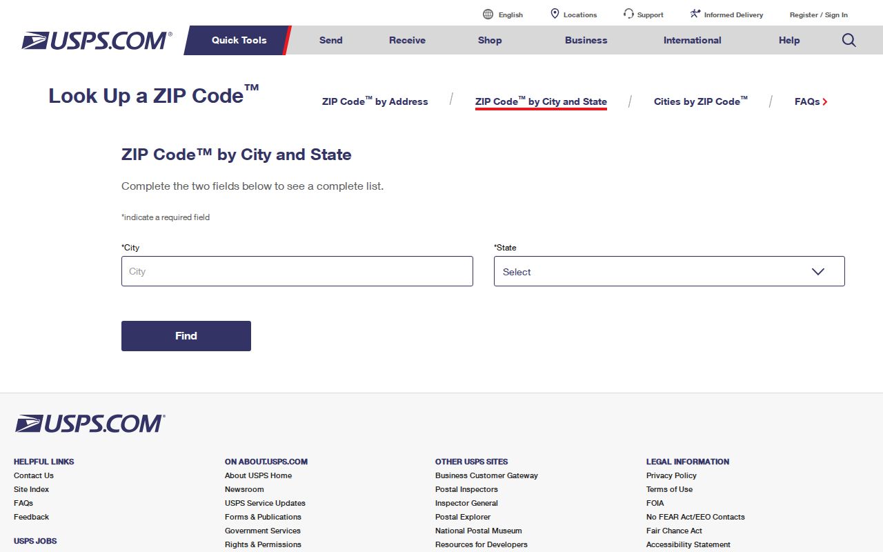
The image records the lookup route, while an exact live return is needed to document a particular address or delivery label.
- Enter the current city and state or complete street address in USPS and save the returned postal line.
- Use the address or parcel ID in the Newport News assessor portal. Preserve the situs and tax year instead of assuming the postal label is the local record jurisdiction.
- Open the same parcel in city GIS and inspect the municipality or city-boundary layer.
- When the address is historical, retain the printed directory or map year and test Newport News, Warwick County, and Warwick city labels where appropriate.
Search a Newport News ZIP
A ZIP is a narrowing clue, not a universal resident filter. The assessor's reliable primary routes are address and parcel, while the research did not expose a confirmed advanced ZIP control. The GIS viewer finds an address, place, or parcel rather than serving as a ZIP directory. Voter tools provide an individual's registration, polling-place, and district pathways under statutory restrictions, not a ZIP-wide name list. Once a postal check leads to an exact street, the parcel path is more dependable than a broad ZIP search.
For a street-level parcel and record sequence after that first postal check, use the Newport News Street Directory. It follows the address through the Street Index, assessor, GIS, and Clerk instead of treating the delivery number as a boundary or a resident list.
Virginia's public-safety registry does expose ZIP and contiguous-ZIP options, but it has a narrow statutory purpose and is not a general directory. Similarly, the Virginia Citizen Portal's polling and district functions do not authorize ZIP-wide voter harvesting. Keep the question tied to the official system's stated purpose.
Newport News Parcel Search Fields
The Newport News Property Assessment Search and the GIS Viewer provide the local confirmation path after USPS. The assessor interface supports street address, parcel ID or Tax Map, and owner-name searches. A ZIP field may exist in an advanced dynamic mode, but text research did not expose its exact control, so it should not be presented as a confirmed way to search all properties in a delivery area.
| Portal input | Control | Confirmed use | ZIP limitation |
|---|---|---|---|
| Assessor street address | Text | Find the normalized situs | Use after USPS validates the mailing line |
| Parcel ID or Tax Map | Text | Link assessment data to GIS and deeds | More stable than a delivery label |
| Assessor owner name | Supported route | Find a property-record party | Does not prove residence |
| GIS address, place, parcel | Find control | Center map and identify parcel | GIS is not a ZIP directory |
| GIS layer list | Map control | Check parcels and city boundary | Use layer date and name |
The assessor search page shows the address, parcel, and owner entry routes used to confirm a local property record.
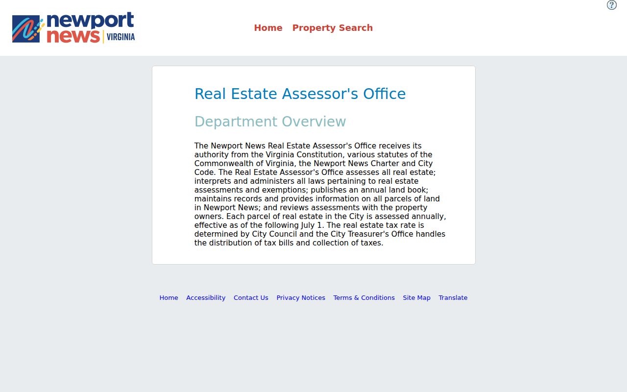
The portal can connect an exact address to a parcel record, but its owner or mailing fields remain property-record data rather than proof of a current household.
Note: The research did not capture an advanced assessor ZIP field, so an exact address or parcel remains the documented local route.
Check Newport News Boundaries
Newport News is an independent city, so a form that asks for a county should use Newport News city or an independent-city option when offered. Do not substitute Hampton, York County, or James City County merely because a postal result crosses local lines. The city-boundary service includes municipality name and type, area, local FIPS, and last-update metadata. Those fields are more useful than a generic postal map when the question is which locality holds a parcel record.
The Newport News GIS Viewer provides the map and layer controls needed to compare an exact parcel with the municipal boundary.
The viewer's parcel and boundary layers keep city geography separate from mail routing and from Census tabulation areas.
Fort Eustis Postal Geography
Fort Eustis is the clearest local example of why postal wording needs context. Archived USPS material grouped 23603 and 23604 with Fort Eustis 23604, while a city parcel may require a separate municipal-boundary check. The research also flags nearby 23630, 23631, and 23653 as Hampton groupings. A regional result can therefore be real mail geography without making the address a Newport News record or a Hampton parcel.
For an older query, search terms such as Fort Eustis, Denbigh, Mulberry Island, Morrison, Lee Hall, Blunt Point, and Warwicktown can uncover historical material that a narrow Newport News label misses. Keep the historical label visible rather than replacing it with a modern one.
Keep Newport News Historic Labels
Newport News was chartered in 1896 and consolidated with Warwick in 1958. A directory or property record may thus use Warwick County or Warwick city while the modern parcel is in Newport News. The independent-city workflow did not erase those earlier names. Historic postal city wording, map labels, and a current postal result belong in different columns of a research note, especially when an old directory address is being matched to current GIS.
The Street Index's from-to and subdivision columns can help reconcile an older address with a present road segment. If the conflict remains, compare a Clerk record, historic directory, plat, 1910 city map, or the 1897 Sanborn map rather than inventing a renumbering story. No official citywide street-renumbering schedule was located in the research.
Note: Preserve the printed locality, map or directory year, and current parcel crosswalk so a later reader can see why two valid labels differ.
Limit Newport News ZIP Results
A ZIP-based result cannot prove where a person lives, who owns a parcel, or whether a historic address has the same limits today. Assessment owners can be trusts, estates, businesses, or public entities. Mailing addresses can belong to agents or post-office boxes. A Census ZCTA supports statistical comparison, not a delivery claim. The right result is often a documented mismatch, with the exact USPS return, GIS layer, source date, and record custodian noted beside it.
The Virginia Address Confidentiality Program and protected-voter provisions can shield an address. If a city administrative record is needed, the Newport News FOIA Request Center accepts reasonably specific requests for existing records, but it does not require the city to make a new ZIP-based list of people.